Loading…

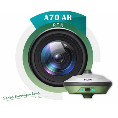
Industrial Grade GPS Gnss Receiver for Geodetic Surveying A90
4.0InStock Source-listed auditby Tianjin Unique Technology Co., Ltd.
₹1,50,300≈ $1,800 · indicative, confirm with supplier
Supplier information

Tianjin Unique Technology Co., Ltd.
Tianjin, China
Description
Industrial Grade GPS Gnss Receiver for Geodetic Surveying A90. High Precision RTK: Horizontal: 1cm+1.0ppm; Vertical: 2.5cm+1.0ppm for real-time kinematic positioning. Multi-Constellation Support: Tracks GPS, GLONASS, BeiDou, Galileo, QZSS, SBAS, and NavIC simultaneously. 30-Degree Tilt Survey: Automatic correction system allows accurate data collection even when the pole is tilted. Fast RTK Initialization: Typically initializes in less than 10 seconds with reliability up to 99.9%. IP67 Waterproof Design: Durable aluminum magnesium alloy body, waterproof and shockproof for harsh environments. Comprehensive Software Suite: Includes Surpad field software and FOIF office software for complete data processing. Long Battery Life: Supports up to 6800mAh removable batteries for extended field operations. One Year Warranty: Covers non-artificial faults with free spare parts and repair services.
Specifications
TypeGeodesic Receiver
Model NO.A90
CustomizationAvailable
Carrier FrequencyMultifrequency Receiver
Number of ChannelsMultichannel Receiver