Loading…
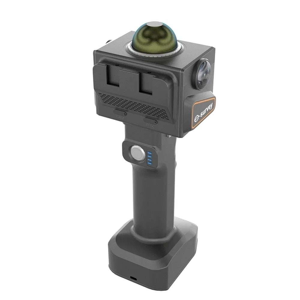
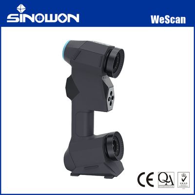
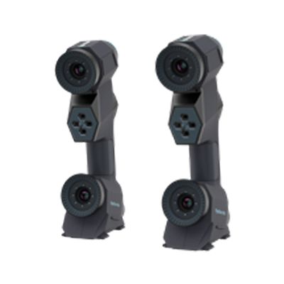
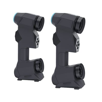
Multi-Sensor Fusion Electric Industrial Handheld 3D Scanner for Underground Space Surveying
5.0InStock Source-listed auditby Shanghai Esurvey Gnss Co., Ltd.
₹16,69,165≈ $19,990 · indicative, confirm with supplier
Payment
LC, T/T, D/P, PayPal, Western Union, Small-amount payment
Incoterms
FOB, CIF, CFR, EXW
Description
Multi-Sensor Fusion Electric Industrial Handheld 3D Scanner for Underground Space Surveying. Real-Time 3D Reconstruction: Dual 5MP cameras generate accurate, true-color 3D point clouds in real time, even in low-light or textureless scenes. High Precision Mapping: Delivers 2cm relative accuracy and 1cm unfiltered point cloud thickness for precise indoor and outdoor environment representation. Extended Measurement Range: Features a measurement range of up to 70 meters, balancing performance and affordability for diverse professional needs. Built-in RTK Positioning: Supports GPS and BDS via a built-in RTK module, ensuring high-precision localization and mapping stability. Lightweight & Portable Design: Weighs only 1.045kg with battery, making it easy to carry for scanning larger environments in the field. Versatile Application Scenarios: Ideal for underground space surveying, mining, forestry, public safety, construction, and film industry workflows. Flexible Data Output: Supports multiple output formats including E57, LAS, LAZ, PCD, XYZ, and BIN for seamless integration with processing software.
Specifications
KeywordsHandheld 3D Scanner
Model NO.eScan M1
CertificationCE
CustomizationAvailable
Network ScanningSupport Network