Loading…
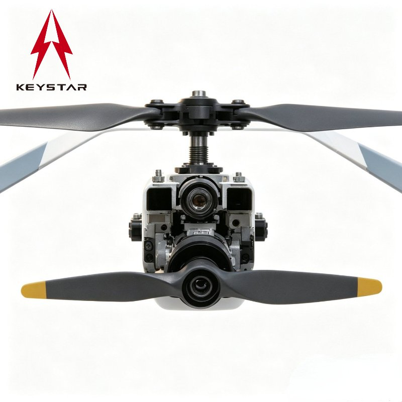
Advanced Kr-Vd60 Vtol Uav for Precision Mapping and 3D Modeling
5.0InStock Source-listed auditby Guangdong Keystar Intelligence Robot Co., Ltd.
₹33,39,917≈ $39,999 · indicative, confirm with supplier
Payment
Small-amount payment, Western Union, PayPal, D/P, T/T, LC
Incoterms
FOB, CIF, CFR, EXW
Description
Advanced Kr-Vd60 Vtol Uav for Precision Mapping and 3D Modeling. VTOL Deployment Flexibility No runway required. KR-VD60 can take off and land vertically, making it suitable for mountainous areas, construction sites, forests, and other confined environments. Large-Area Survey Efficiency Fixed-wing cruise mode enables efficient coverage of large survey areas with fewer takeoffs and landings, improving operational efficiency. RTK-Based Survey Accuracy Supports RTK positioning system for survey-grade accuracy, suitable for mapping, photogrammetry, and 3D modeling applications. Long-Endurance Operation Up to 2+ hours flight endurance under rated load, suitable for long-duration mapping missions. Modular Payload Integration Modular internal bay allows easy installation, replacement, and maintenance of payload systems. Flexible Data Link Options Supports 30 km standard control range, expandable to 50 km or 100 km under LOS conditions.
Specifications
HeightUltra High-Altitude
Model NO.KR-VD60
CertificationFCC
CustomizationAvailable
Operating RadiusRemote